With Earth Maps-Live Satellite View, you can explore a stunning 3D Earth, view live street cameras, track real-time traffic, and even capture your journey with a GPS camera. Whether you're planning a trip, exploring out of curiosity, or just love discovering new places, this app brings the world closer to you in a rich and interactive way.
🗺 Key Features of Earth Maps-Live Satellite View:
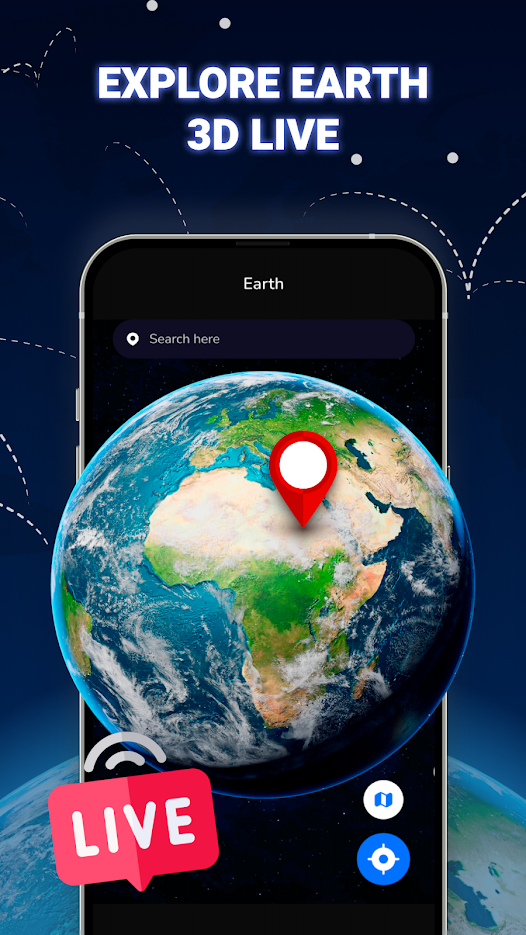
🌍 Real-Time 3D Earth Exploration
Enjoy a fully interactive 3D model of Earth. Zoom in on any country, rotate the globe, and explore continents, oceans, and landmarks in real-time.
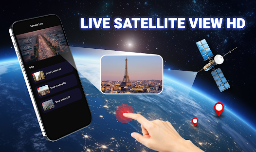
🌆 HD Live Street View
Walk through streets of different cities in high definition. Check out tourist attractions or simply see what’s happening live around the world.
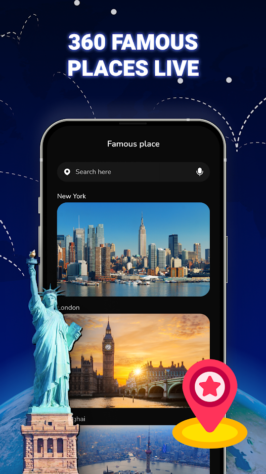
🏛 360° Live Camera of Famous Locations
Take virtual tours of iconic places with immersive 360° views. Swipe around to feel like you’re really there.
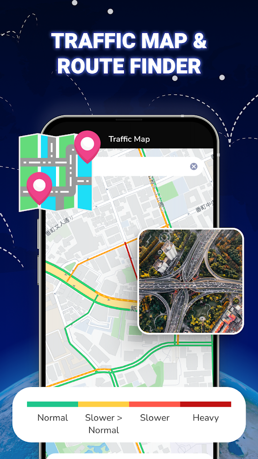
🚗 Live Traffic & Route Finder
Navigate easily using our live traffic maps. Find the fastest routes, avoid congestion, and travel smarter.
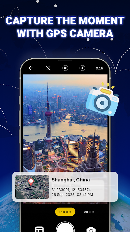
📸 Capture Memories with GPS Camera
Take photos with built-in GPS info including date, time, and location. Perfect for organizing travel memories.
🌫 Check Real-Time Air Quality
Monitor air quality in your city or any location around the world. Stay informed and stay healthy.
🕒 Know the Local Time Anywhere
View accurate local time across d...

 +100宝石

 分享
分享