登高高

登高高

Elevation Measurement · Direction Guide · Photo Elevation Card

创作者
NoTab 开发者
导航

Ascend High - Altitude Measurement is a tool for altitude measurement and climbing record in scenarios such as travel and hiking. On the home page, you can view real-time altitude, compass direction, etc.; on the photo page, you can overlay altitude, etc. to create photo cards; on the record page, it accumulates climbing to form a height wall and a 3D mountain view. It can measure altitude and direction in real time, record climbing changes, take photos with altitude watermarks, customize the altitude interface, and generate 3D mountain views. Some advanced functions need to be unlocked by members. The annual continuous subscription is 28 yuan/year, and the permanent membership is 38 yuan. After purchase, you can manage the subscription in the Apple ID account.

COMMUNITY PERKSMergeek 社区专属福利
独家限免 NEW每天发现一份惊喜
PRODUCT SCREENS / 6

点击查看界面细节

登高高 产品截图 1登高高 产品截图 2登高高 产品截图 3登高高 产品截图 4登高高 产品截图 5登高高 产品截图 6

UpUp - Altitude Measurement is an altitude measurement and climbing record tool for travel, hiking, mountain climbing, camping and urban exploration.
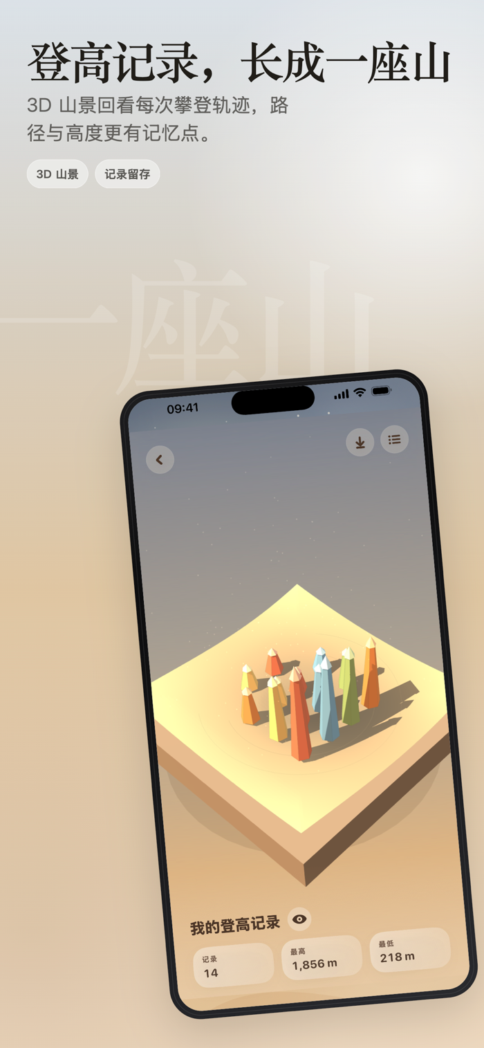
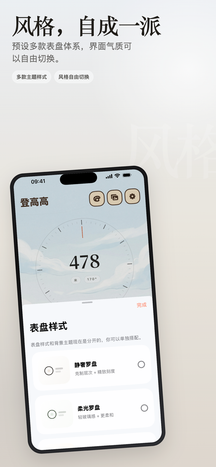
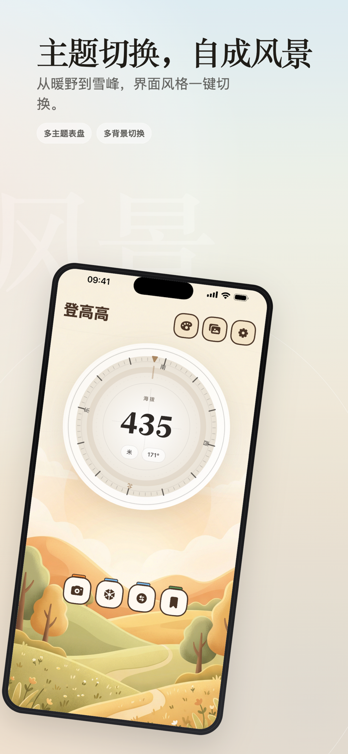
Open the home page and you can see the real-time altitude, compass direction and various dial styles at the same time; the photo page supports real-time shooting or selecting pictures from the album, automatically overlaying the altitude and orientation to create a more memorable altitude photo card; the record page will precipitate each climb into a height wall and a 3D mountain view, facilitating review, saving and sharing.
What can you do with it:
• Measure altitude and direction in real time and quickly judge the height of the current location
• Record the changes in each climb during travel, hiking, mountain climbing and camping
• Take pictures with altitude watermarks, direction information and time atmosphere
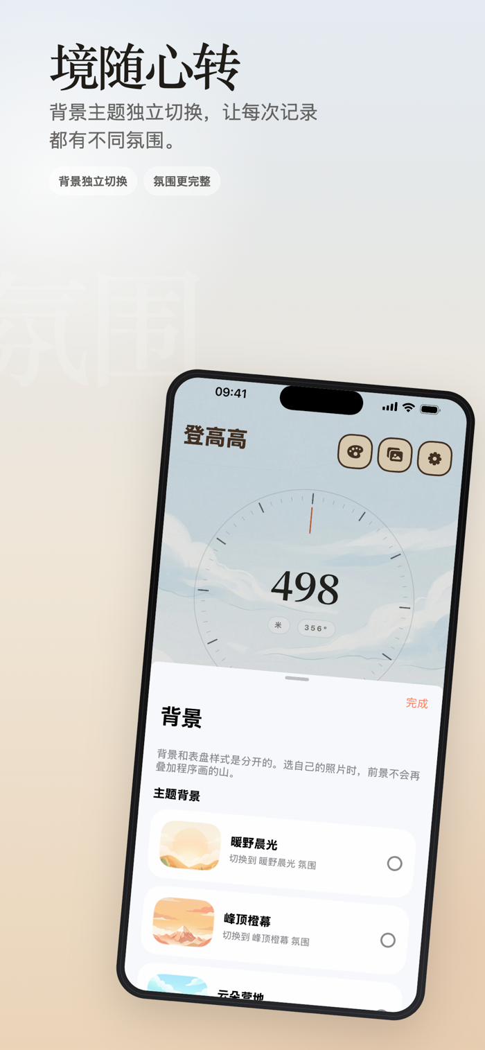
• Create a more personalized altitude interface with different themes, backgrounds and dial styles
• Generate a 3D mountain view from personal climbing records and preserve every moment of reaching a higher altitude
Suitable for these scenarios:
• Want to know exactly how high it is when traveling and taking pictures
• Want to casually record altitude changes during hiking and mountain climbing
• Want to take a picture with height information at a campsite, viewing platform or high point in the city
• Want to accumulate personal climbing records and height trajectories over a long period
Some advanced themes, backgrounds, 3D mountain view export, photo taking and photo altitude card functions need to be unlocked by members.
Membership subscription instructions:
Continuous annual package: 1 year, 28 yuan/year.
Permanent membership: 38 yuan.
After confirming the purchase and completing the payment, the fee will be charged to the Apple ID account. Unless you turn off auto-renewal at least 24 hours before the end of the current subscription period, the subscription will automatically renew. The system will ded…

版本

1.2

1.2 让登高高的海拔与指南针界面更有冲击力,也更适合个性化搭配。

- 新增多款高级罗盘主题,使用更有张力的展示字体。
- 优化「冲击橙标」「铬面山脊」「赤焰航迹」,文字更大、更居中,画面更干净。
- 将新的付费主题放到解锁主题区域最前面,打开主题面板更容易看到。
- 改进高级表盘的自定义字体加载与显示效果。
- 优化主题预览、海拔显示和整体视觉一致性。
- 保持付费主题的会员解锁逻辑稳定,未开通用户仍会看到锁定状态。

适合徒步、爬山、露营、旅行打卡、海拔记录、指南针查看,以及制作带海拔水印的照片卡片。

查看完整更新记录 ↗

你的真实体验,为其他用户提供宝贵参考,获得宝石奖励

REWARD MARKET100 宝石可兑换什么?
用户体验图片
大灰
第一印象 可爱风格的海拔记录app,不买会员也可以正常使用,对于登山爱好者应该比较有用。
用户体验图片
한그름파이팅
一句话总结 👌有点卡通可爱
用户体验图片
DODO_NVBWZLYM
最喜欢的功能 海拔可以直观显示
加载更多评论 ↗
广告

提交反馈

每一个想法,都让 Mergeek 更好一点。