
 +100宝石

加入 Mergeek 福利群
扫码添加小助手,精彩福利不错过!
若不方便扫码,请在 Mergeek 公众号,回复 群 即可加入
- 精品限免
- 早鸟优惠
- 众测送码

TrailTool
利用公开数据创建地图,支持多格式及分享
 分享
分享


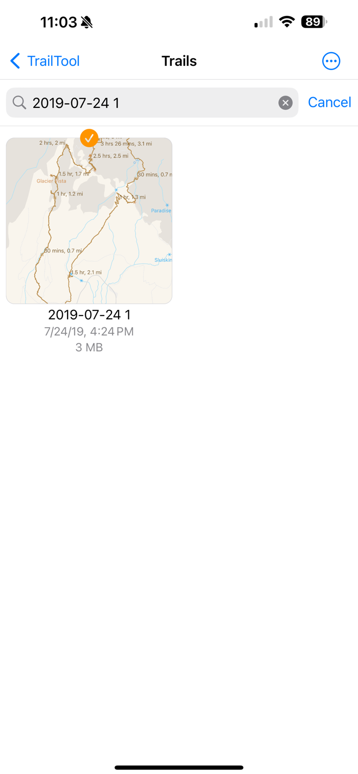


TrailTool可利用公开的OpenStreetMap数据在应用内创建地图,无需无线连接,地图实时更新。尊重隐私,数据存于本地。主要功能包括:记录GPS轨迹或标记兴趣点;直接从OpenStreetMap数据创建地图数据集,支持多语言;支持PBF、GeoJSON/JSON和GPX数据交换格式;支持通过AirDrop或标准iOS共享功能分享数据。无GPS设备(如无蜂窝服务的iPad)也可用于行程规划、查看地图和现有轨迹。


用户评价
立即分享产品体验
你的真实体验,为其他用户提供宝贵参考
💎 分享获得宝石
【分享体验 · 获得宝石 · 增加抽奖机会】
将你的产品体验分享给更多人,获得更多宝石奖励!
💎 宝石奖励
每当有用户点击你分享的体验链接并点赞"对我有用",你将获得:
🔗 如何分享
复制下方专属链接,分享到社交媒体、群聊或好友:
💡 小贴士
分享时可以添加你的个人推荐语,让更多人了解这款产品的优点!
示例分享文案:
"推荐一款我最近体验过的应用,界面设计很精美,功能也很实用。有兴趣的朋友可以看看我的详细体验评价~"
领取结果