
 +100宝石

加入 Mergeek 福利群
扫码添加小助手,精彩福利不错过!
若不方便扫码,请在 Mergeek 公众号,回复 群 即可加入
- 精品限免
- 早鸟优惠
- 众测送码

USFS and BLM Campgrounds
旅游
 分享
分享


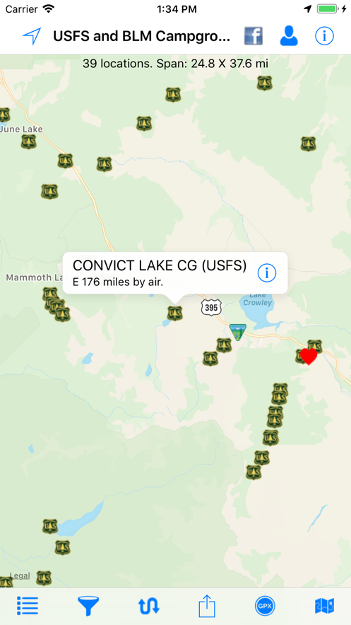
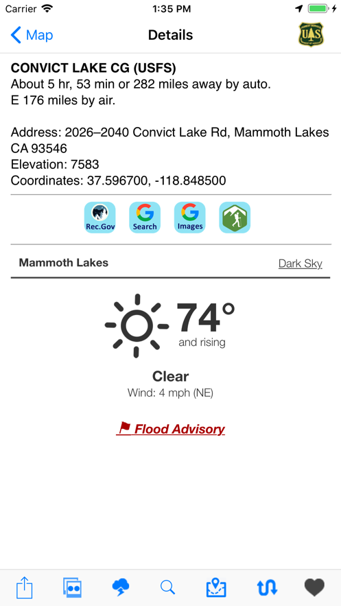
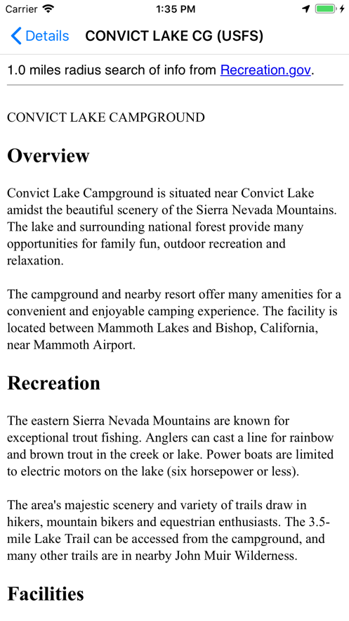
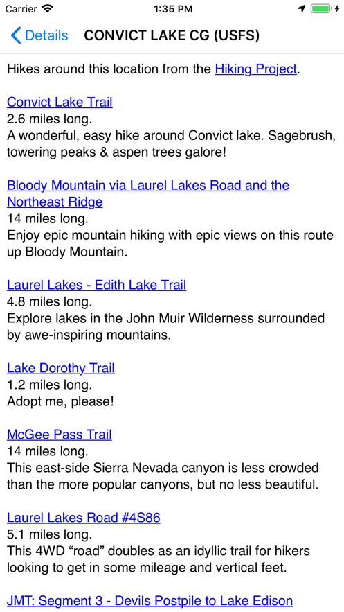
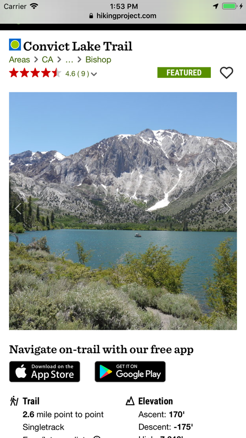
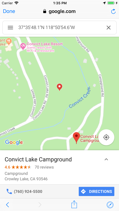
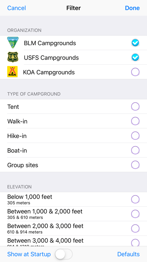
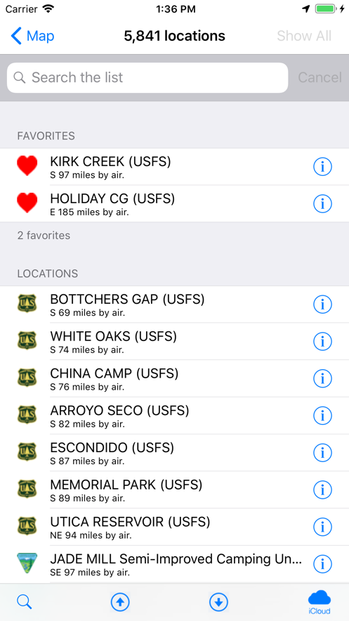


该应用展示美国超5800个美国森林服务局和土地管理局露营地,多为低成本或免费。每个位置显示营地名称、管理机构、本地天气、海拔等信息,能轻松找到最近露营地,还可将位置数据发送到Road Trip Planner应用。支持从GPX文件导入路由,显示位置与露营地间路线,地图图层含Apple、Google和开放式街道地图,无需联网,数据库每月更新,另有超480个KOA位置可按需过滤。


用户评价
立即分享产品体验
你的真实体验,为其他用户提供宝贵参考
💎 分享获得宝石
【分享体验 · 获得宝石 · 增加抽奖机会】
将你的产品体验分享给更多人,获得更多宝石奖励!
💎 宝石奖励
每当有用户点击你分享的体验链接并点赞"对我有用",你将获得:
🔗 如何分享
复制下方专属链接,分享到社交媒体、群聊或好友:
💡 小贴士
分享时可以添加你的个人推荐语,让更多人了解这款产品的优点!
示例分享文案:
"推荐一款我最近体验过的应用,界面设计很精美,功能也很实用。有兴趣的朋友可以看看我的详细体验评价~"
领取结果