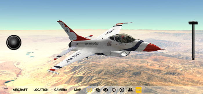
GeoFS is a multiplayer flight simulator displaying a global scenery from satellite images. Whether you are a licensed pilot practicing VFR, an aviation enthusiast or just looking for some fun flying in beautiful landscapes, you can enjoy any of the 20 available aircraft, ranging from paraglider to airliners, absolutely anywhere in the world..
This app includes:
- Worldwide 1m/pixel Super Resolution imagery - AI enhanced satellite images
- Worldwide (10m resolution) satellite images and elevation model
- Realistic physics and flight models
- Global multiplayer
- Navigation charts with 40,000 referenced runways
- Radio Navigation (GPS, ADF, VOR, NDB, DME)
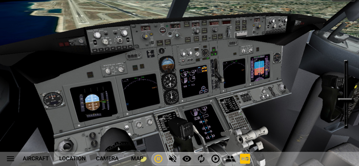
- 30+ different aircraft with instrumented cockpits
- ADS-B real-life commercial traffic
- Replay mode
- Seasons, day/night and real-time weather conditions from METAR (wind, clouds, fog, precipitations)
Included aircraft:
- Piper J3 Cub
- Cessna 172
- Dassault Breguet / Dornier Alpha Jet
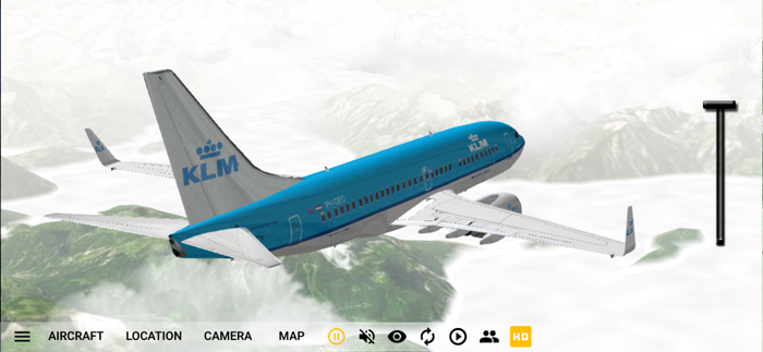
- Boeing 737-700
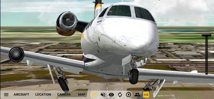
- Embraer Phenom 100
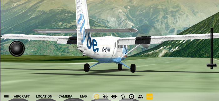
- de Havilland DHC-6 Twin Otter
- F-16 Fighting Falcon
- Pitts Special S1
- Eurocopter EC135
- Airbus A380
- Alisport Silent 2 Electro (Motor Glider)
- Pilatus PC-7
- de Havilland DHC-2 Beaver
- Colomban MC-15 Cri-cri
- Lockheed P-38 Lightning F-5B
- Douglas DC-3
- Sukhoi Su-35
- Concorde
- Piper PA-28 161 Warrior II
- Airbus A350
- Boeing 777-300ER
- Major...


 +100宝石


 分享
分享


















用户评价
立即分享产品体验
你的真实体验,为其他用户提供宝贵参考
💎 分享获得宝石
【分享体验 · 获得宝石 · 增加抽奖机会】
将你的产品体验分享给更多人,获得更多宝石奖励!
💎 宝石奖励
每当有用户点击你分享的体验链接并点赞"对我有用",你将获得:
🔗 如何分享
复制下方专属链接,分享到社交媒体、群聊或好友:
💡 小贴士
分享时可以添加你的个人推荐语,让更多人了解这款产品的优点!
示例分享文案:
"推荐一款我最近体验过的应用,界面设计很精美,功能也很实用。有兴趣的朋友可以看看我的详细体验评价~"
关注 Mergeek 公众号
领奖遇到问题?联系小门助手