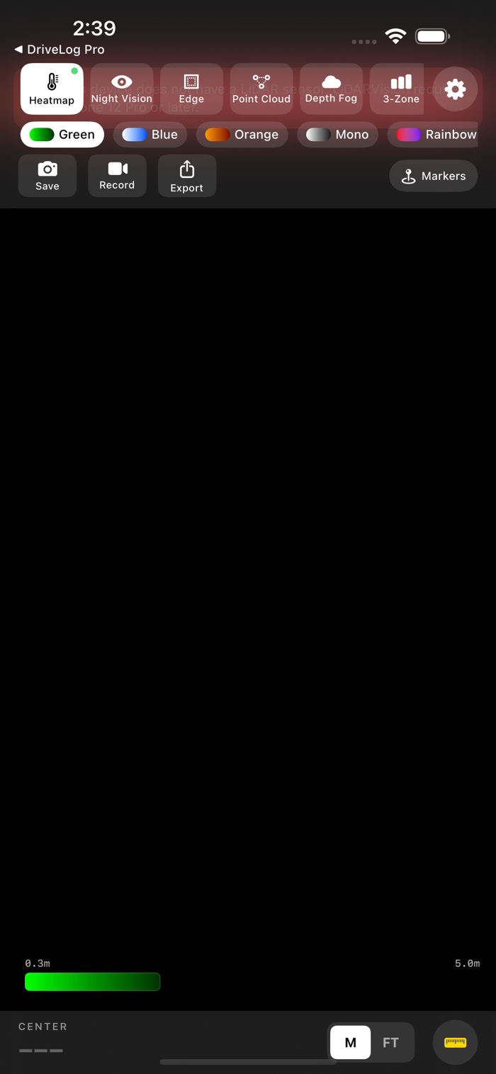
LiDARVisionPro transforms your iPhone's LiDAR sensor into a powerful real-time depth visualization tool. See the three-dimensional structure of the world around you through six stunning rendering modes -- all running live at full frame rate.
VISUALIZATION MODES
- Heatmap: Classic thermal-style depth coloring from near to far
- Night Vision: Low-light phosphor look that reveals depth in darkness
- Edge Detection: Highlights surface boundaries and object outlines
- Point Cloud: Interactive 3D point cloud rendered in real time
- Depth Fog: Atmospheric fog effect that fades with distance
- 3-Zone Tricolor: Divides the scene into near, mid, and far depth bands
MULTI-MODE OVERLAY
Activate multiple visualization modes at the same time. Layer edge detection over a heatmap, combine point cloud with night vision, or create your own custom blend. Modes composite in a carefully tuned order for clean, readable results.
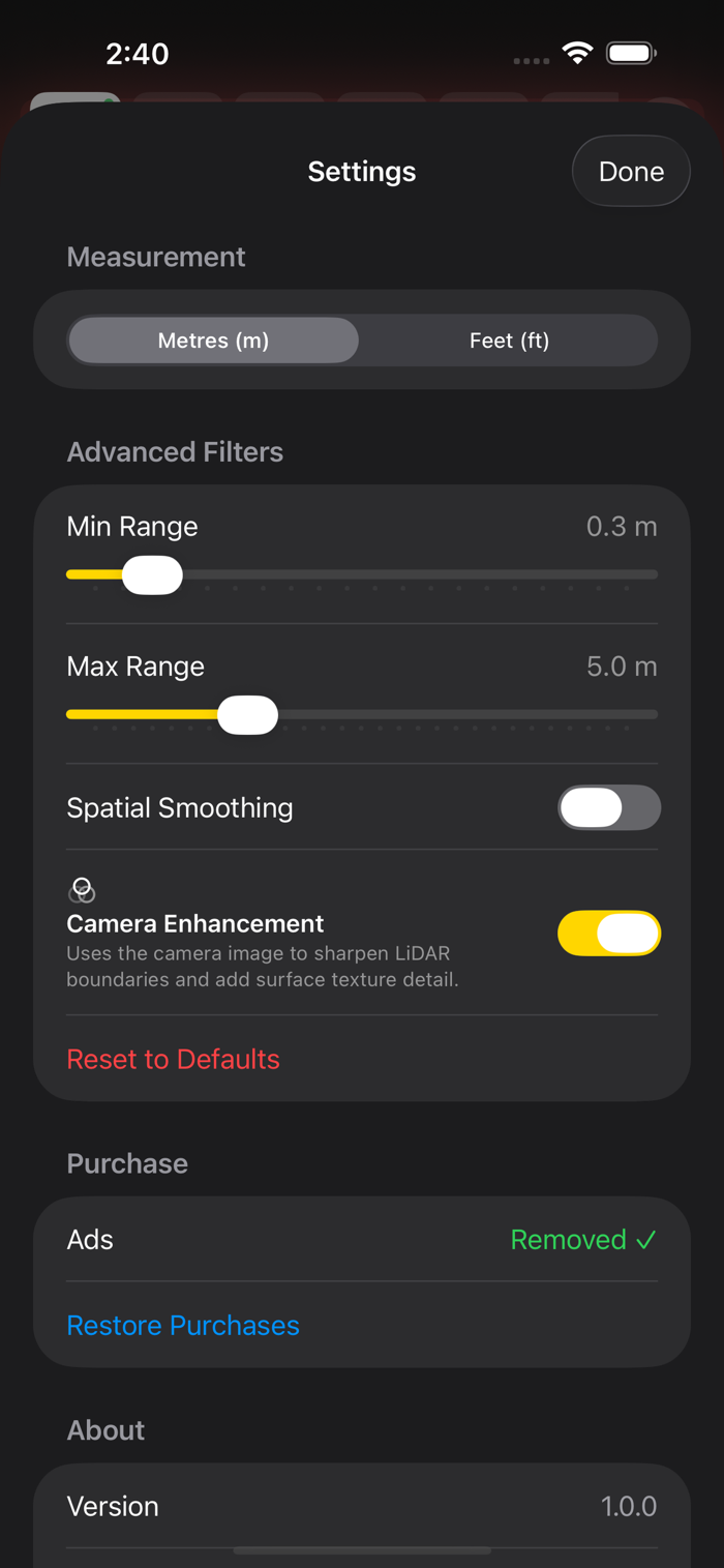
CAMERA-GUIDED ENHANCEMENT
LiDARVisionPro uses a technique called joint bilateral upsampling that combines camera image data with the LiDAR depth map. The result is sharper depth boundaries that follow real object edges and added surface texture detail -- far beyond what raw LiDAR data provides on its own.
COLOR THEMES
Choose from six color themes to change the look of every visualization mode:
- Green (classic phosphor)
- Blue
- Orange
- Mono (grayscale)
- Rainbow
- Purple
Ea...

 +100宝石


 分享
分享


用户评价
立即分享产品体验
你的真实体验,为其他用户提供宝贵参考
💎 分享获得宝石
【分享体验 · 获得宝石 · 增加抽奖机会】
将你的产品体验分享给更多人,获得更多宝石奖励!
💎 宝石奖励
每当有用户点击你分享的体验链接并点赞"对我有用",你将获得:
🔗 如何分享
复制下方专属链接,分享到社交媒体、群聊或好友:
💡 小贴士
分享时可以添加你的个人推荐语,让更多人了解这款产品的优点!
示例分享文案:
"推荐一款我最近体验过的应用,界面设计很精美,功能也很实用。有兴趣的朋友可以看看我的详细体验评价~"
关注 Mergeek 公众号
领奖遇到问题?联系小门助手